The Big Tree Trail
El Yunque National Rainforest0.7 mile (1.4 km)
40 minutes one-way
Moderate
The Big Tree Trail is a 0.7 mile (1.4 km) self-guided interpretive trail, descending from 1,804 feet (550 meters) to 1,640 feet (500 meters). Hiking time is approximately 40 minutes, one-way. The trail is rated as moderate in difficulty, and is steep in some places. It is asphalt paved throughout and several rain/picnic shelters are located along the way.
This trail is one of the most popular in the EYNF trail system. Along the trail the hiker will encounter a number of interpretive signs in both Spanish and English describing in detail the wonders of the Tabonuco forest, the largest and most abundant of the four forest types found in the EYNF.
A typical sign describes an impressive Ausubo (“Bullet wood”) tree located nearby, and believed to be over 300 years old, as well as information about the wildlife, rainfall and forest diversity that combine to make up this magnificent ecosystem.
Along the trail, you will be serenaded by the pleasant buzzing whistle of our tiny black and yellow native warbler with the silly-sounding name: “Bananaquit.” After crossing one of the many clear mountain streams, you may encounter a lovely Puerto Rican Emerald Hummingbird (“Zumbadorcito” in Spanish) sipping nectar from a bright red Hibiscus flower, or even be inspected by a family of Mongoose hurriedly crossing your path.
The trail ends at Cascada La Mina (La Mina Falls), an exquisite waterfall that drops over 35 feet through a jumble of huge rocks into a lovely pool where hikers can choose to swim in the cool refreshing water or merely rest and enjoy the view. At this point the trail connects with the La Mina River Trail. Hikers who choose not to retrace their steps and return the way they came can continue on the this trail following the course of the La Mina river upward for 0.7 mile (1.2 km), exiting in approximately 30 to 45 minutes at the Palo Colorado Information Center located on PR 191, km 12.2 about 1 mile (1.8 km) up the road from the Big Tree Trail parking lot.
El Yunque Trail
El Yunque National Rainforest2.4 miles (4.4 km)
2 to 2-1/2 hours one-way
Challenging
The El Yunque trail is 2.4 miles (4.4 km) in length rising from 2,067 feet (630 meters) to 3,445 feet (1,050 meters). Hiking time is approximately 2 to 2 1/2 hours one-way. This trail is rated as challenging, and can be quite steep and muddy in some places. The first half of the trail surface is primarily gravel-reinforced native flagstone and follows the natural contours of the mountain. Where the trail divides at the halfway mark (indicated by Forest Service signs), the El Yunque trail becomes more narrow and steep, and many parts are not paved.
The trail begins at the concrete steps across from the visitor center, leading to the Baño Grande pool. At the top of the steps the trail turns right and proceeds along the Caimitillo trail for approximately 150 feet to the El Yunque trail junction (marked by a Forest Service sign). Continuing on, the hiker passes through the lush canopy of the Palo Colorado forest into the higher elevations of the Mountain Palm (Palma Sierra in Spanish) forest, eventually reaching the mysterious ever-clouded Dwarf Forest at the trail’s end.
Along the trail the hiker crosses and re-crosses many cool mountain streams while enjoying broad vistas overlooking the surrounding forest. At the junction of the El Yunque/Mount Britton Spur/Los Picachos trails there is an old natural-stone hut with a crumbling chimney (built by the CCC in the 1930s), which is an ideal place to shelter from the rain, eat lunch, or merely enjoy the marvelous view.
At the peak, there is a small stone tower with steps leading to an observation deck at the top. The hiker who reaches the summit before mid-day may be lucky enough to get a clear panoramic view of the rolling green forest carpet extending to the coastal plain and the Atlantic ocean to the north, and the Caribbean sea and the offshore islands of Culebra and Vieques to the east. In the afternoon the cloud cap returns obscuring all but the mossy, fern and vine draped shapes of the Dwarf forest.
Hikers who choose not to retrace their steps and return the way they came can return to the trail junction and take the Mount Britton Spur trail to Mount Britton Tower and follow the Mount Britton trail to PR 9938 and PR 191 and ultimately to the Palo Colorado parking lot. Total trail/road distance is approximately 1.9 miles (2.5 km) and can be hiked in 1 to 1 ½ hours.
La Mina Trail
El Yunque National Rainforest0.7 mile (1.2 km)
30 – 45 minutes one-way
Challenging
The La Mina trail is 0.7 miles (1.2 km) long, descending from 2,132 feet (650 meters) to 1,640 feet (500 meters). Hiking time is approximately 30 to 45 minutes, one-way. This trail is rated as challenging in difficulty. It has several sets of winding concrete stairs that can make the return trip somewhat arduous. There are a number of covered picnic shelters (built of native stone by the Civilian Conservation Corps during the 1930’s) available to hikers or picnickers near the trailhead. Each shelter has picnic tables, a barbeque and running water taps.
The La Mina trail is the most popular and hence the most heavily traveled trail on the EYNF. The trail follows the course of the La Mina River downward through lush tropical trees, shrubs and flowers to the La Mina waterfall (Cascada La Mina). Along the way, it crosses and re-crosses the rushing river on many small bridges, passing tiny cascades and still pools filled with chilled mountain water on its way to the falls.
The trail ends at Cascada La Mina (La Mina Falls), an exquisite waterfall that drops over 35 feet through a jumble of huge rocks into a lovely pool where hikers can choose to swim in the cool refreshing water or merely rest and enjoy the view. At this point the trail connects to the Big Tree Trail. Hikers who choose not to retrace their steps and return the way they came can continue on this trail for 0.8 miles (1.4 km) exiting in approximately 30 to 40 minutes at the Big Tree Trail parking lot located on PR 191, km 10.4, about 1 mile (1.8 km) down from the Palo Colorado Visitor Center.
The Mount Britton Trail
El Yunque National Rainforest0.8 mile (1.3 km)
40 minutes one-way
Easy (Start) – Challenging (Peak)
The Mount Britton trail is 0.8 miles (1.3 km) in length, rising from 2,493 feet (760 meters) to 3,087 feet (941 meters). Hiking time is 40 minutes one-way. This trail is mostly cement and asphalt paved, with some graveled sections. The level of difficulty ranges from easy at the beginning to challenging near the peak.
Starting at the Forest Service Mount Britton trail sign, the trail ascends rapidly through the Sierra Palm forest, crosses two rushing mountain streams and then intersects with Forest Service Road 10 (closed to public vehicle traffic). The hiker turns right and continues along this road for approximately 500 feet, where it intersects with the remaining portion of the trail. The trail leads steeply upward through the Cloud Forest until it reaches Mount Britton peak and the Mount Britton Tower. Constructed of stone, the tower was built by the Civilian Conservation Corps in the 1930s. Both tower and mountain are named for botanist Nathaniel Britton who with his wife and colleague, Elizabeth Knight Britton, identified a substantial amount of the native and endemic tree and plant species of the Luquillo mountains in the 1920s. On a clear day the tower’s observation deck affords the lucky hiker a panoramic view of the surrounding forest, the Atlantic Ocean, the Caribbean Sea and the southeastern and northeastern coastal plain.
Hikers who choose not to return the way they came can take the Mount Britton Tie # 19 (0.3 miles/0.5 km) to its junction with the El Yunque Trail and proceed downward to its junction with the Baño de Oro trail which exits at PR 191, km 12.3 just up from the Palo Colorado Information Center, and walk south (up) to the gate at the end of the road to regain their cars. This should take approximately 1 ½ to 2 hours.
The Caimitilla Trail
El Yunque National Rainforest0.2 mile (0.6 km)
15 – 20 minutes one-way
Easy – Moderate
The Caimitillo Trail is a short 0.2-mile (0.6 km) interpretive trail rising from 2,067 feet (630 meters) to 2,427 feet (740 meters). Hiking time is approximately 15 to 20 minutes, one-way. The trail is rated as moderate to easy, and has an asphalt-paved or graveled surface. A picnic area with several native stone picnic huts (glorietas in Spanish), each containing tables, a barbeque and running water taps, are found along the trail.
Due to its minimal length, easy access and comfortable picnic area, this trail is very popular with both locals and visitors with only a morning or an afternoon to spend in the EYNF. At the trailhead, a series of concrete stairs, followed by wood-supported steps cut into the rocky trail surface, lead upward to the Caimitillo picnic area. From the picnic area the trail, bordered by hundreds of bright colored Impatiens flowers (“Miramelinda” in Spanish), continues past Giant Tree Ferns and Motillo trees to the junction with the El Yunque trail. At this point the trail turns to the left passing by a rocky cliff covered with moss, lichens, miniature climbing bamboo and liverwort, all existing together under the forest canopy. At this point visitors can view examples of Puerto Rican parrot nests high up in the bromeliad and orchid-studded Palo Colorado trees to the left of the trail.
The trail ends at the Baño Grande Pool built by the Civilian Conservation Corps in the 1930’s. A walk around the path encompassing this tranquil pool, which briefly captures the waters of the La Mina river before it rushes on down through the forest, affords the hiker a chance to view interpretive signs which identify some of the most prevalent trees in the EYNF, growing around the pool.
Continuing a few steps down from the pool brings the hiker to PR 191, km. 12.2 across from the Palo Colorado Information Center. It is then only a short walk back down the road to the parking lot at the Sierra Palm Visitor Center.
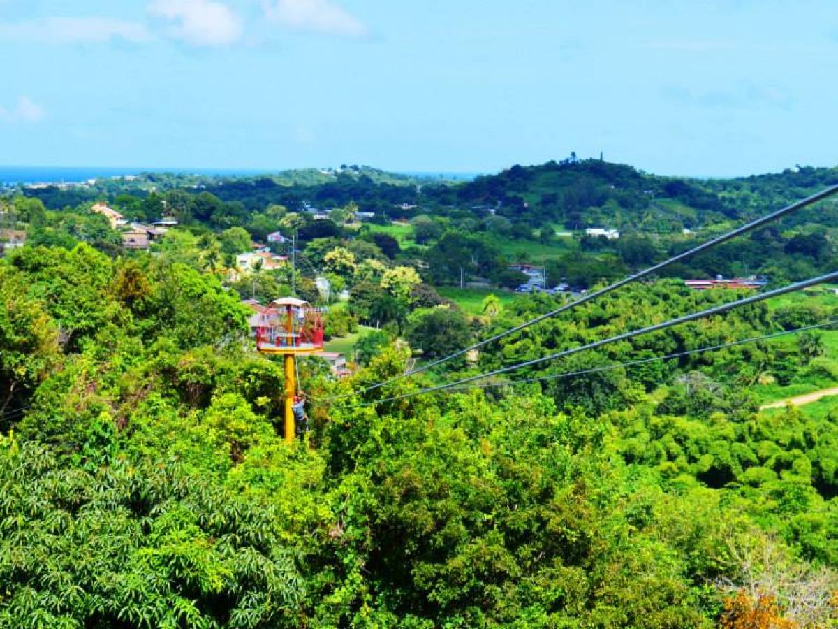
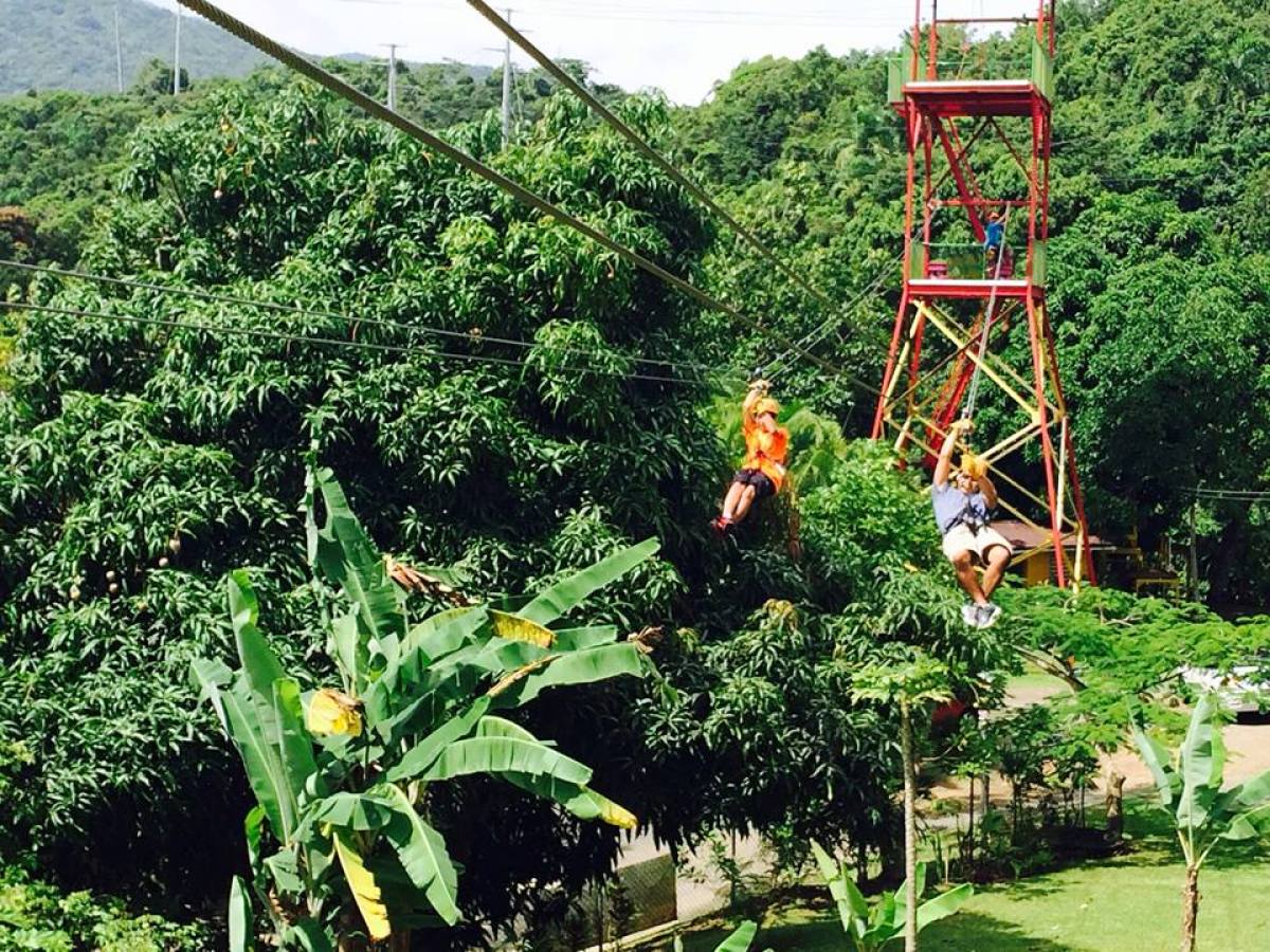
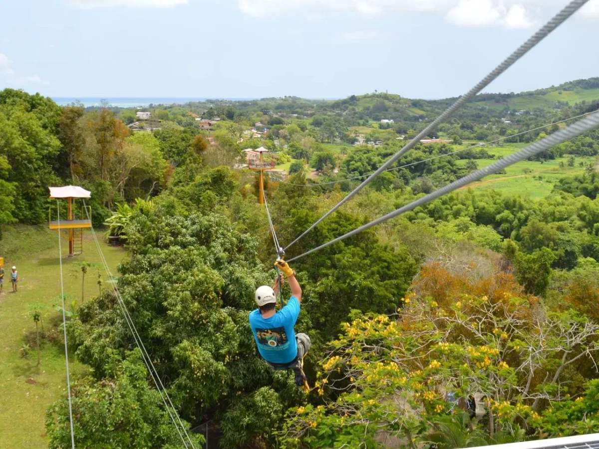
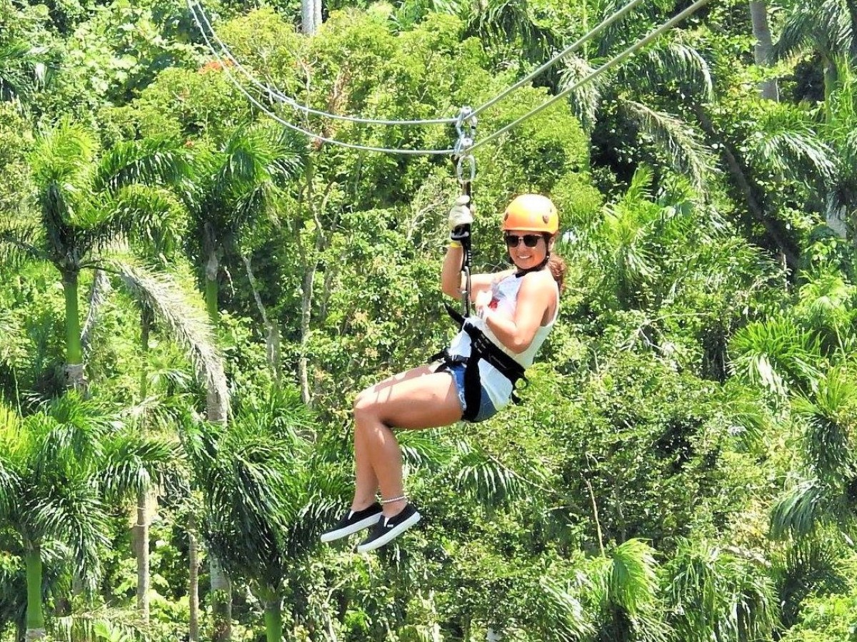
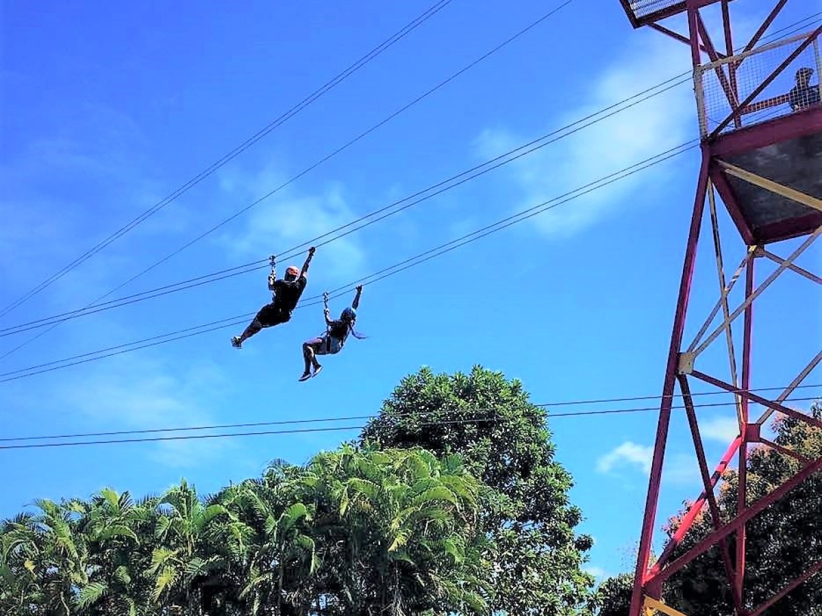
Don't Feel Like Hiking? Go Ziplining!